Planimetric Beta 1
Masterplans.
In minutes.
Draw a site — get streets, blocks, buildings and apartments, with sunlight, footfall and parking checked as you go. Right in your browser.
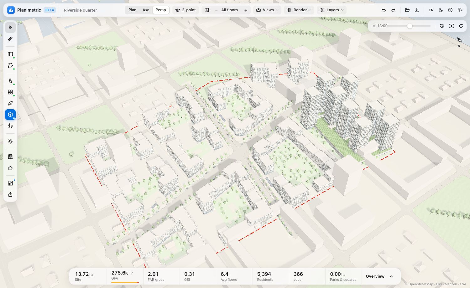
From a site to an apartment.
Twelve steps on one tool rail. Each opens when the one before is done — and every result stays editable.
Built on real rules.
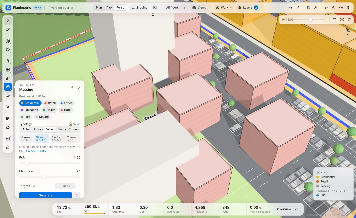
Not boxes on a map: the massing knows courtyards, distances, the module grid and what the context keeps free.
Massing that keeps its distances.
Perimeter blocks, urban villas, townhouses and towers by density. Context from OpenStreetMap and terrain: water, parks and existing buildings stay free.
- Courtyards 30–43 m across, never below 25 m
- Sections on the apartment module grid
- Streets set by red lines and building lines
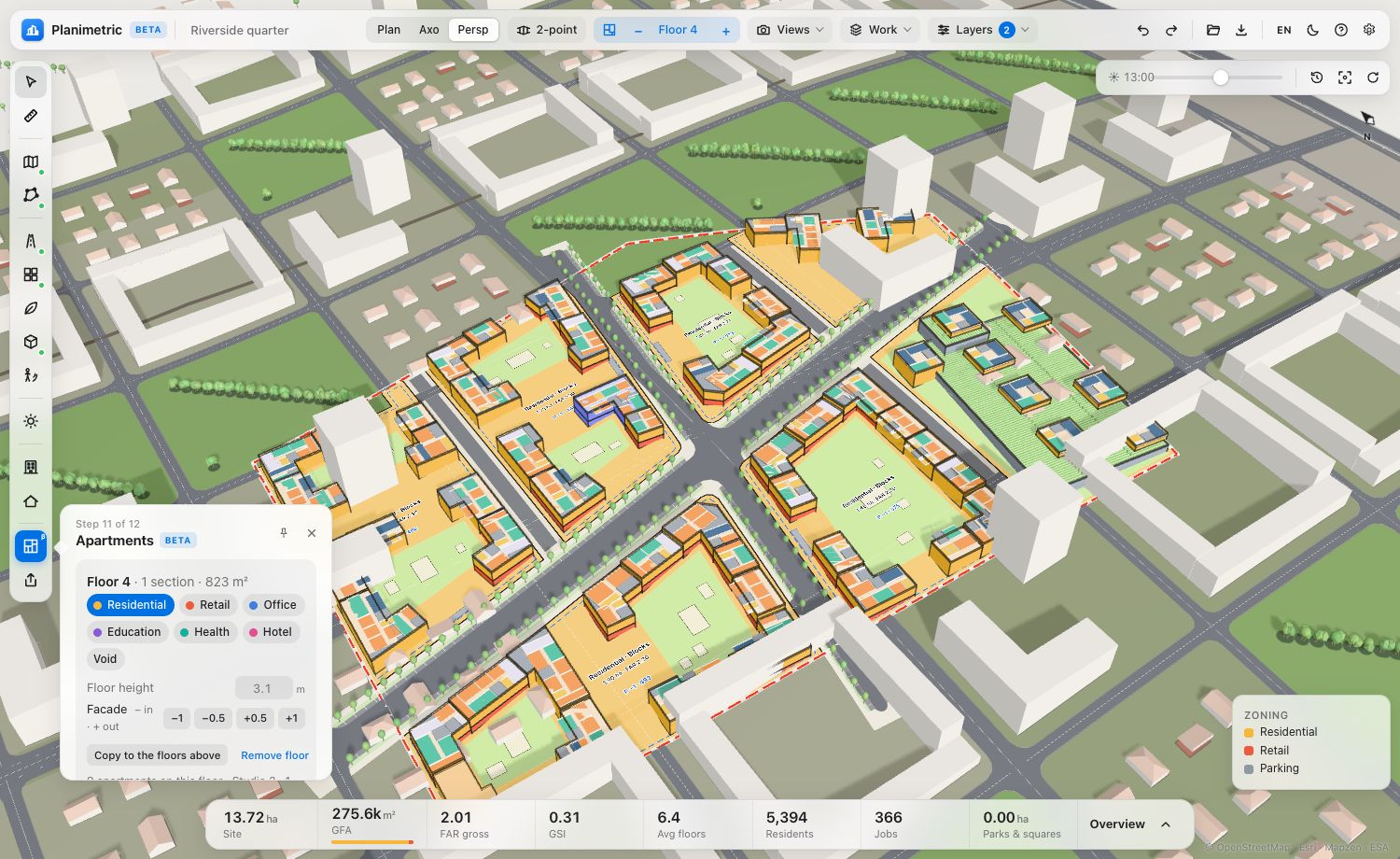
Every floor. Every apartment.
The apartment mix fills each section floor by floor and checks every flat for sunlight. Step through the floors and edit them right in the scene.
- Target mix per project, block or section
- Insolation per apartment, layouts that fix it
- Floor view: use, height, facade offset per storey
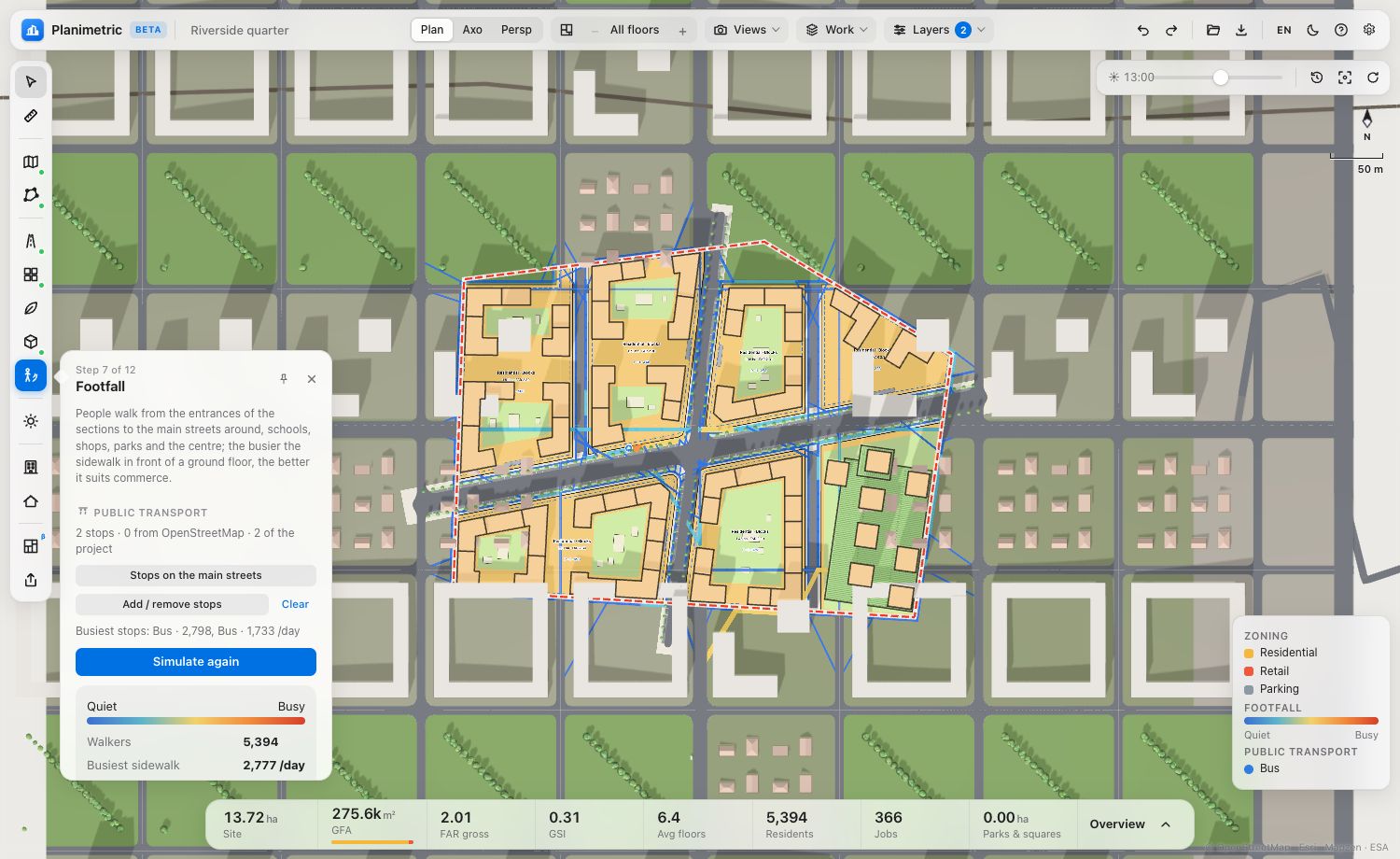
Where people walk.
Trips from every entrance to streets, schools, parks and transit stops show the busy sidewalks — commerce goes to the ground floors that see the most people.
- Crossings at every street, stops from OSM or placed by you
- A set commercial area on the busiest ground floors
Parking, counted.
Spaces needed by the norms of each use, and where they go: surface lots with a tree every five spaces, underground, semi-underground decks, stylobates, multi-storey or attached car parks.
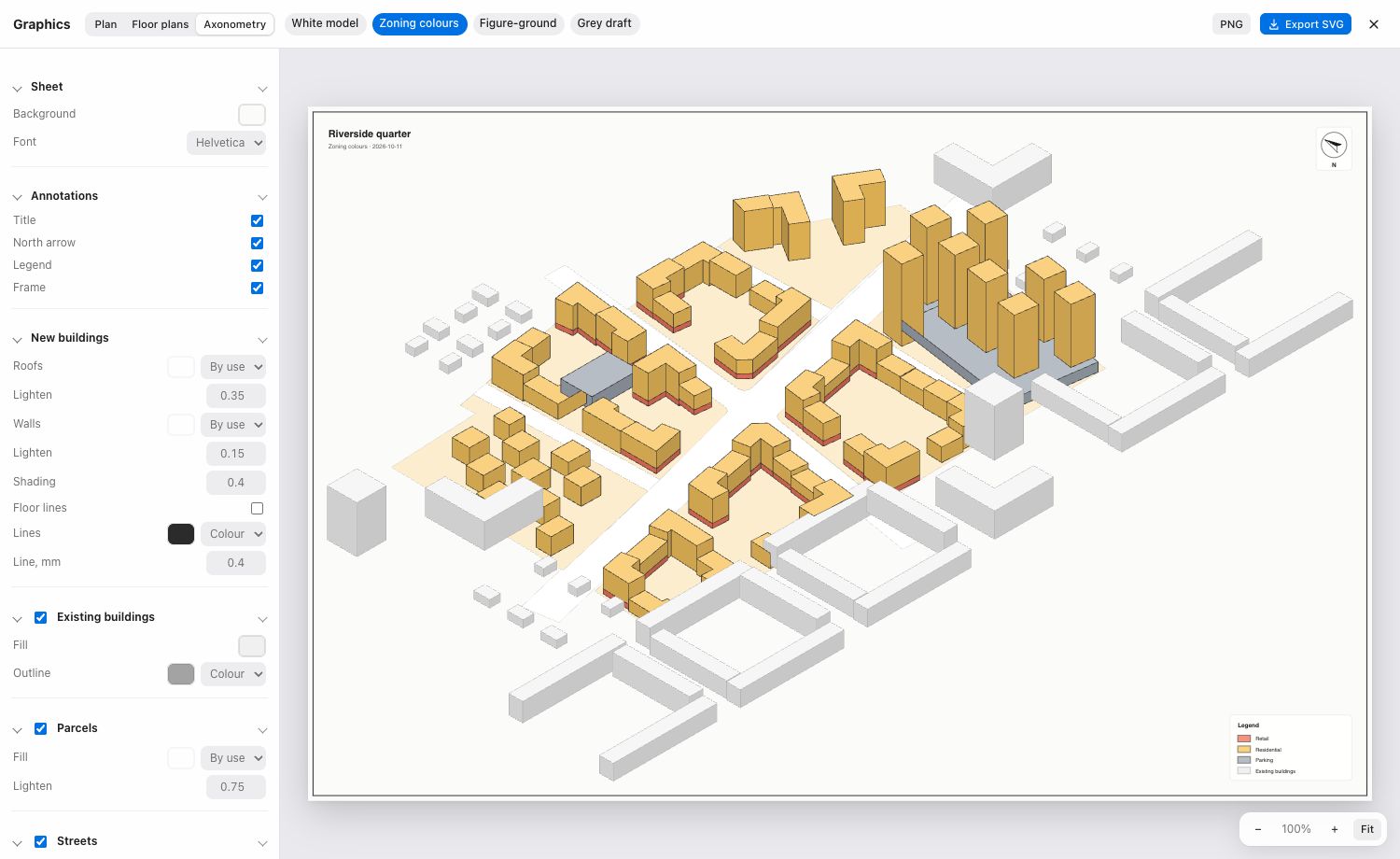
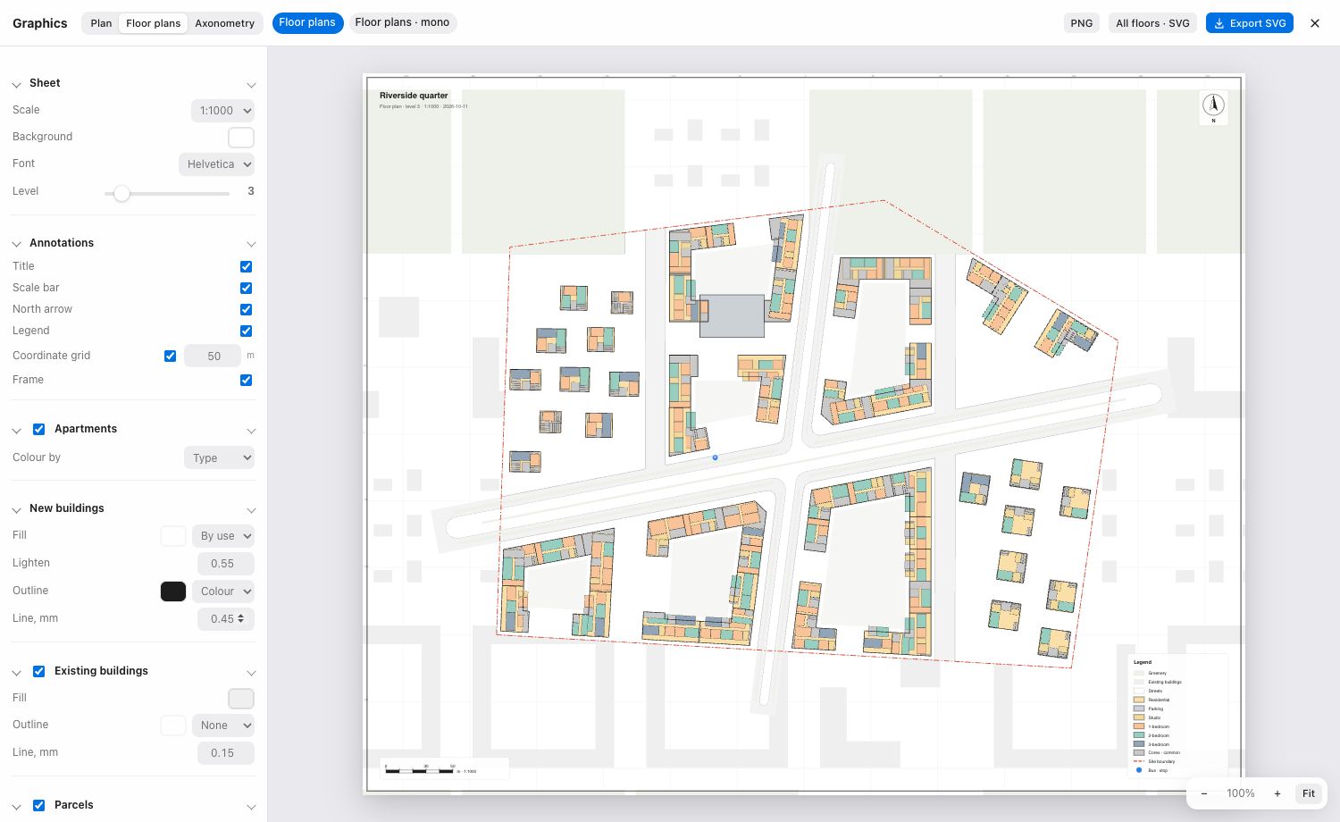
Drawings, ready to present.
A graphics editor for plans, floor plans and axonometries: presets and your own styles, scale, grid, legend and north — exported as layered SVG for Illustrator, or PNG.
Sunlight
EN 17037 on every residential facade, a ground sun map and a fix that lowers what shades.
Facades & roofs
Grid, windows, balconies and loggias in real 3D; gable, hip, green and solar roofs.
Views
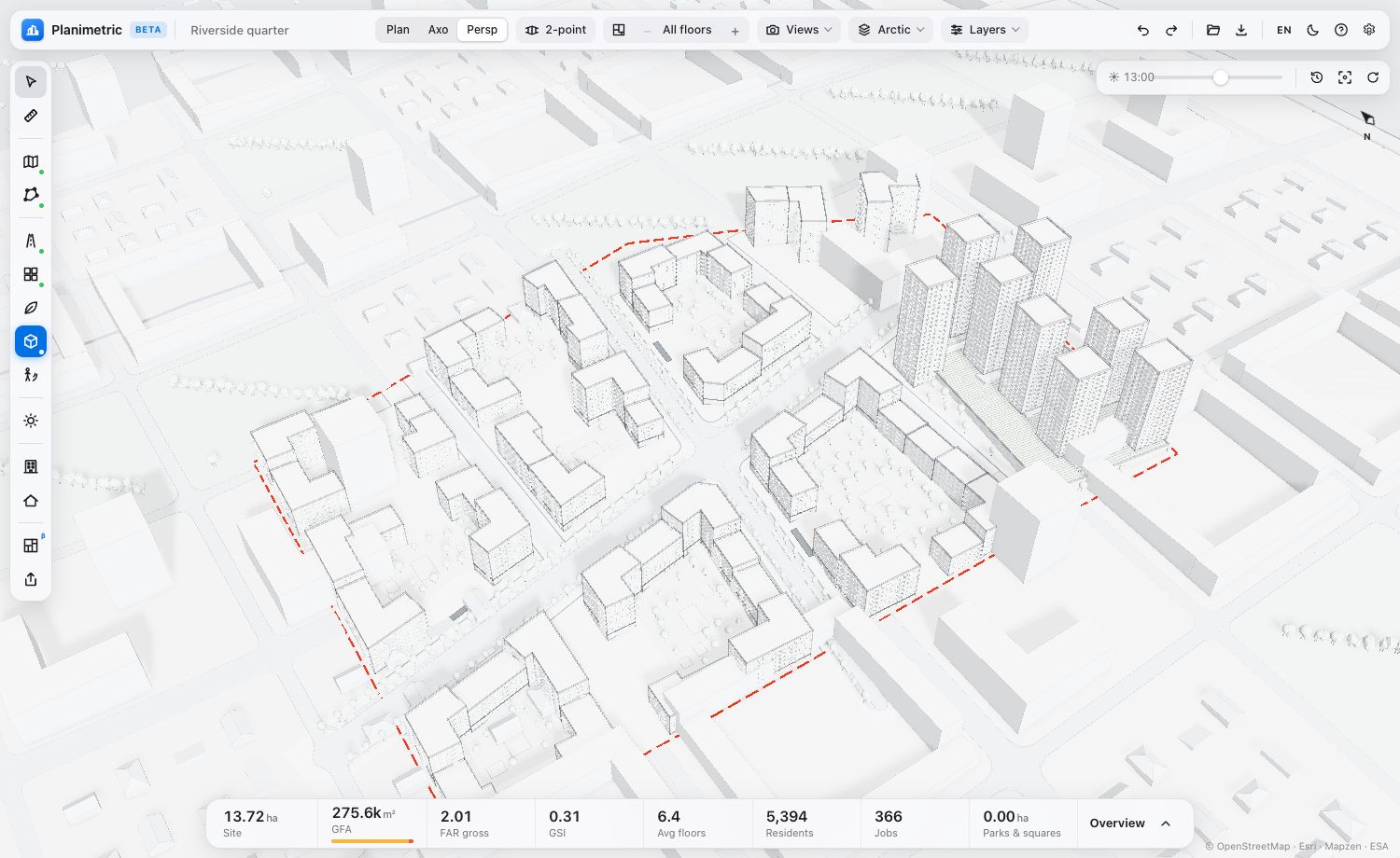
Perspective, two-point perspective, axonometries — saved with the project.
servers between you and your project
Planimetric runs in the browser. A project is a .json file you keep — open it again anywhere.
Exports
SketchUp, Revit, ArchiCAD, Rhino, SVG, PDF, DXF, GLB, OBJ, PNG, Excel KPI, GeoJSON, KML.